Residents call for nodal development

Mitchell’s Plain resident associations have united in a call for nodal development along “their coastline”.
Mitchell’s Plain resident associations have united in a call for nodal development along “their coastline”.
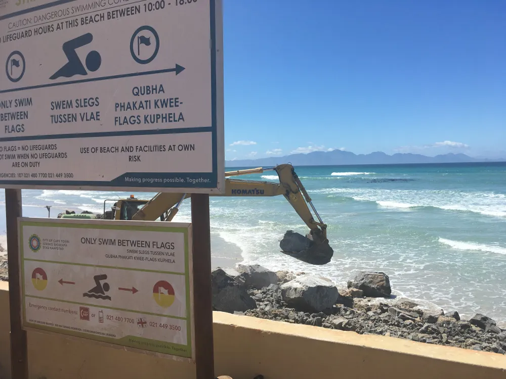
This would include the urban and recreational nodal point development of 162 hectares of land, including Strandfontein pavilion, Blue Waters, Kapteinsklip/Mnandi and Sonwabe and not just the proposed draft proposal of about 6.2 hectares at the pavilion.
Wolfgat Residents and Ratepayers’ Association Ward 79, Portland Ratepayers’ Association, Strandfontein Ratepayers’ Association and ward councillor Daniel Christians submitted comments to the City, for inclusion in the its draft Development Framework for the area on Tuesday January 3.
Initially the City had set a deadline of December 14 last year for public comment but at a public meeting on November 30 a request was made for an extension. The closing date for comments is now Tuesday January 31.
Jerome September, chairman of the Wolfgat residents association, said there were no proposals or mitigation measures in place to support development in conjunction with conservation and heritage.
“This will advance sustainable economic, environmental and cultural significance on the southern corridor (False Bay Coastline) to the City of Cape Town,” read the document.
They would like to see nodal development encourage and promote local and international tourism; arts and crafts; and “local economic development opportunities of its very people”.
“It is clearly understood that there is growing recognition that interactions with nature provide many desirable human well-being outcomes.
“Thus, it has become increasingly important to understand how and why urban dwellers interact with nature,” reads the submission.
Mr Christians said the City’s designated biodiversity areas need to be reviewed in the interest of the broader transformation agenda of the Metro Southeast, including the protection of certain areas of the environment and all of the 392 hectares of coastal land, on the False Bay coast erf 1212 containing “our camping sites A, B and C”.
He said in the fight of the socio-economic situation of residents of both Mitchell’s Plain and Strandfontein, the municipality had granted development rights to investors between Big Bay and Hout Bay but barred development on coastal land where strip development was taking place and the biodiversity was being destroyed.
“This leads to the set off area on the False Bay coastline where, black communities reside as is the case of our camping sites in Soetwater. This biodiversity footprint that was introduced on the False Bay coastline at the behest of black coastal communities and being introduced by the City of Cape Town, hinges on racial spatial patterns,” said Mr Christians.
The submission includes a snippet from an apartheid regime parastatal company "VisKor" who then declared the False Bay coast as an opportunity for development for the white community.
“In the wake of urban sprawling by blacks, this idea was later discarded and a ‘green lung’ for the False Bay coastline was declared.
“Company records from Watermeyer, Prestige and Retief and Common Ground Consulting (Muller Coetzee) are indicative of future developments for coastal communities but later rejected,” read the joint document.
Mr Christians said: “When poor people are given access to tangible assets, they obtain the means to participate in economic activities, and are therefore better placed to benefit from economic growth.”
Deputy mayor Eddie Andrews, and mayoral committee member for spatial planning and environment, said City officials would refine draft urban development proposals for the area.
“We encourage the local community and local groups and organisations in particular to submit comments as they have inherent local knowledge of the area, and are best placed to identify outstanding needs and demands.
“This will assist us in finalising a plan built on substantial consensus for a desired optimal potential future development outcome for the area,” he said.
According to the municipality deriving the “plan” for the Strandfontein coastal urban node area involved a number of key phases:
- The first phase is to identify a number of possible development scenarios for the area and what the preferred scenario should be. The preferred development scenario now advertised for public comment proposes a mix of land uses, inclusive of primarily recreational, commercial and residential uses, within an area between the coastline and Baden Powell Drive which is focused on the existing Strandfontein resort area.
- The second phase is the preparation of a final Development Framework for the area which will, once approved by the City, would provide broad guidance for all subsequent necessary development processes such as the required environmental, transport and other impact assessments, land use applications that are rezonings and sub-divisions.
- Mr Andrews said the third phase involved the actual development contracts, which would only commence following approval of a Development Framework.
He said the officials would respond to comments in a response report which would be tabled at council once the final draft was ready for approval.
He confirmed receipt of the group’s submission and said the next step would be for council to consider all comments; respond to these, and then formulate a draft.